Proposals
Creating a strong sense of place for the new and existing community
Following pre-application consultation, Redrow has submitted an outline planning application to Buckinghamshire Council for Land South of London Road, Beaconsfield.
The application proposes high-quality homes that reflect the heritage and character of Beaconsfield. Our landscape-led approach will provide a welcoming, attractive neighbourhood and promote walking and cycling to local facilities with new, safe routes. Early priorities for the scheme include:
- Respecting local heritage and character.
- Enhancing green infrastructure and biodiversity.
- Improving connections to nearby facilities.
Key features
Key features for the new and existing Beaconsfield community
The proposals aim to deliver carefully considered homes and public green spaces, integrated into Beaconsfield’s historic environment.
- Up to 170 new homes, as set out in the submitted outline planning application.
- Homes designed to reflect Redrow’s award-winning Heritage Collection.
- 50% affordable housing.
- Legacy private affordable homes retained by the Hall Barn Estate for local residents.
- High-quality landscape-led design protecting mature trees and green buffers.
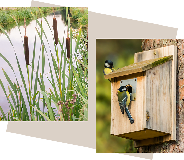
- Biodiversity net gain and habitat enhancements across the site and wider estate.
- New pedestrian and cycle links to local facilities and services.
- Access improvements via Cross Lane, subject to highways approval.
- Sustainable drainage and flood risk mitigation measures, with improvements to existing conditions.
- Sensitive integration with Beaconsfield’s historic character and existing community.
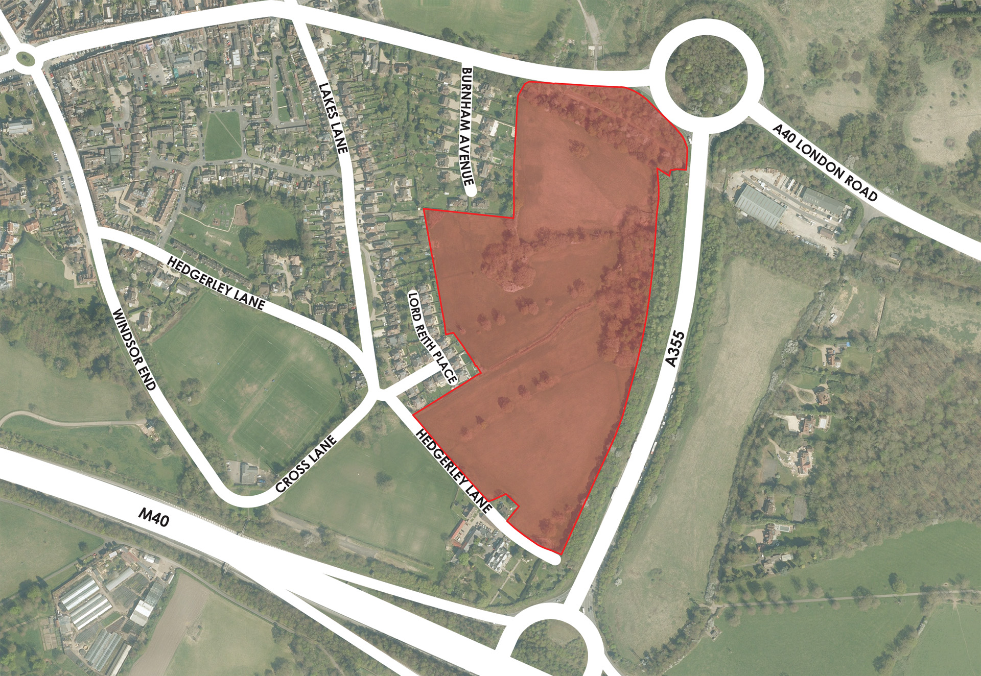
The site
Site location
The site lies to the south of London Road on the edge of Beaconsfield Old Town, and within walking distance of the town centre and railway station. It covers approximately 12.73 hectares and is part of the historic Hall Barn Estate.
It is visually contained by mature landscaping and has no formal landscape designations. Previous Green Belt studies have recognised the site’s potential for sustainable development, noting its strong relationship with the existing town and good visual containment.
The plan below shows the redline boundary of the site.
Masterplan
 Site Boundary: 12.80ha
 Residential developable area (Indicative dwelling frontages)
 Main vehicular access point
 Primary street network through the development
 Lanes & private drives
 Pedestrian, cycle & emergency access points
 Pedestrian access points
 Recreational routes
 Existing public footpaths
 Areas of public open space including areas of species-rich wildflower
 Existing vegetation
 Existing watercourse/ditch
 Tree and woodland planting
 Children’s play areas: 1x Locally Equipped Area of Play (LEAP) & l x Local Area for Play (LAP)
 Natural play stations
 SuDS basins
 Indicative location for fences to control access to land reserved for flow exceedance routes
 Locally listed building: “Harrias House”
 Local facilities/services
 Existing on-site foul pump station
Design
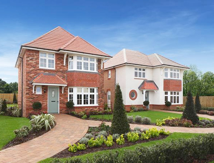
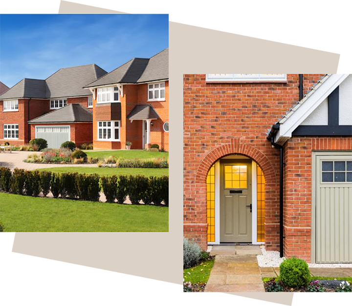
High-quality homes that reflect local character
All homes will be designed with Beaconsfield in mind, in line with Redrow’s award-winning Heritage Collection.
The design will focus on creating a strong sense of place, using quality materials, thoughtful detailing, and timeless, elegant character to reflect the established style of Beaconsfield. Homes will combine traditional exteriors with modern, energy-efficient interiors designed for contemporary living.
The overall layout and design principles will seek to complement Beaconsfield’s rich heritage, promote walkability, and provide a welcoming, attractive neighbourhood that fits seamlessly with the town’s historic setting.
Enhanced connectivity
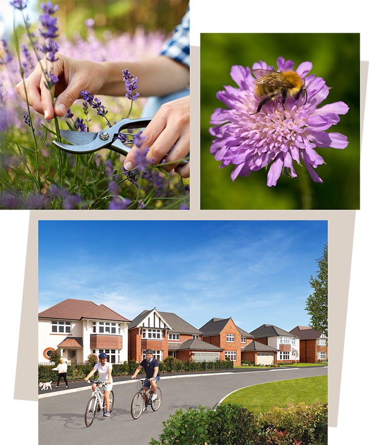
New walking and cycling routes across Beaconsfield
Connectivity is a key priority for the proposals. New pedestrian and cycle routes are planned to link the new homes to Beaconsfield Old Town, the town centre, and key local amenities such as schools and public transport connections.
The emerging plans aim to encourage active travel, providing safe and attractive alternatives to car use and reducing traffic impacts. The proposals will create opportunities to enhance existing footpaths, introduce new green corridors across the site, and improve access to the wider public rights of way network.
The development will be designed with people in mind, helping to foster healthy lifestyles by ensuring easy, safe, and sustainable movement through the new neighbourhood and beyond.

Landscape and ecology
Protecting and enhancing the environment
The plan is being developed with a landscape-led approach, placing green infrastructure at the heart of the proposals. Key features will include:
- Retaining, protecting and enhancing veteran trees, mature hedgerows, and key natural assets.
- Creating new public green spaces and play areas for residents and the wider community.
- Delivering biodiversity net gain within the site and supporting off-site enhancements across Hall Barn Estate land.
Sustainable drainage systems (SuDS) are being incorporated to manage flood risk naturally, using green infrastructure where possible to promote resilience and protect existing ecosystems. These measures are designed to ensure that surface water is managed sustainably on-site, without increasing flood risk elsewhere.
The design aims to create an attractive, biodiverse environment that enhances both the site and its surroundings for future generations.
An Environmental Statement is now being prepared to support the planning application. This will assess the likely significant environmental effects of the proposals and will be considered by Buckinghamshire Council alongside consultation responses and the wider planning application documents.
Access and transport
Safe and sustainable movement
Vehicular access to the site is expected to be taken from Cross Lane/Hedgerley Lane with proposals to widen the existing road to reduce its impact and improve movement for all users.
A dedicated transport consultant has been appointed to develop the access strategy, working alongside Buckinghamshire Council and other key stakeholders. The transport strategy will ensure that access is safe, sustainable, and capable of supporting both the new and existing community. Key priorities include:
- Improving pedestrian and cycle access alongside vehicular routes to the Old and New Town.
- Considering traffic calming measures where appropriate.
- Integrating new crossings and footpaths to support safe travel across the wider area.
- Enhancement to local bus stops.
The design will seek to minimise disruption, promote sustainable transport choices, and encourage a seamless connection to the existing town network.

Timeline
How will the project move forward?
Timeline is subject to change due to planning and consultation.
October 2025
Public consultation launched.
Late 2025
Review feedback and update proposals.
March 2026
Outline planning application submitted to Buckinghamshire Council.
Autumn 2026
Determination of planning application (subject to planning process).